|
District NRDMS Center,
Davanagere
O/o Zilla Panchayath, Davanagere District - 577005
Introduction
The
Davanagere
district NRDMS Centre was established in the year
2007-2008
at Office of the
Davanagere
Zilla
Panchayath with financial support from Department of Science and
Technology, Government
of India, Implemented by K.S.C.S.T, Bangalore with active
support from Department
of Science &
Technology, Government
of Karnataka. The main objective of the centre is to create
the digital database on Natural resources, Demography, Agro &
Socio economy and infrastructure facilities of the
District to provide analysed information to the district
administrators, Zilla panchayath, line departments, Academic
institutions and NGOs in Natural resources management and
rural development planning with the help of GIS and
other advanced scientific technologies.
Activities carried
out at District NRDMS Centre
-
The primary
objective of District NRDMS Centre under NRDMS Project is to
create Extensive database on Spatial Database (Maps) and Non-Spatial
Database (Attribute data) of Natural Resources, Socio & agro-economic
parameters and Infrastructure facilities of the district
after collating from the line departments and other
organizations and it is been updating regularly based on
nature of availability of data and requirements.
-
Watershed Maps for Krishi Kavacha Programme: Prepared and
submitted detailed maps of 42 selected watershed areas in
Davanagere district, including survey numbers, using
drainage lines, micro-watershed, village, cadastral, and
habitation boundaries with GIS processing (clip option) for
the Joint Director Agriculture Office, Davanagere
-
Aerial Distance Map for Survey No. 52, Gopanahalu Village:
Prepared maps showing aerial distances from Corporation,
CMC, TMC, and TP using Google Earth, Dishank application,
and village, town, and survey number boundaries, submitted
to Karnataka Land Grabbing Prohibition Special Courts,
Bengaluru.
-
Davanagere District Groundwater Fluctuation Map: Generated
groundwater depth analysis maps for Davanagere district by
joining OB well-wise Excel data with well location
shapefiles and performing spatial analysis using district,
Taluk, and GP boundaries; submitted the report to the
Department of Groundwater.
-
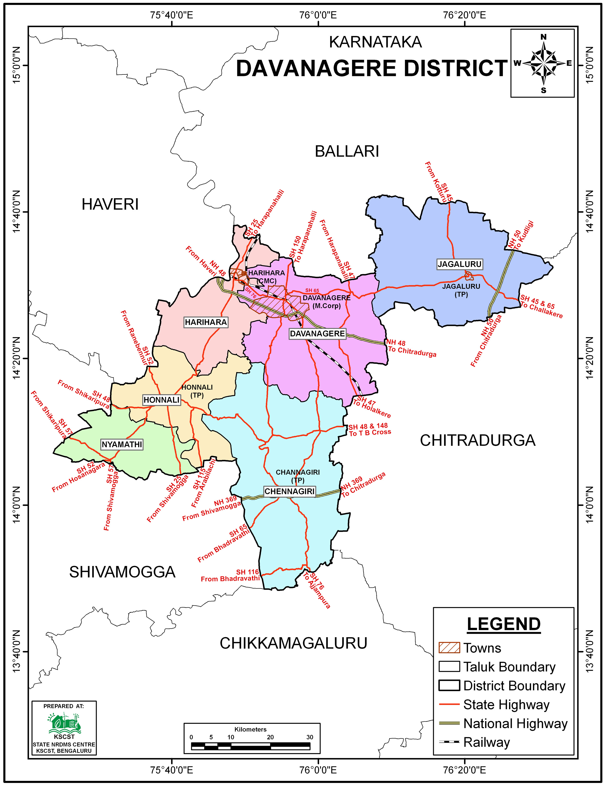
Taluk Administration Maps: Prepared detailed Taluk
administration maps for Davanagere district using Taluk,
Hobli, village boundaries, road networks, GP and village
locations, and waterbodies data, and submitted to the Deputy
Commissioner’s Office for administrative communication.
-
Resource Maps for Jalashakthi Abhiyan CTR-2025: Prepared and
submitted district resource maps including boundaries,
forest, command area, geology, DEM, soil, drainage, and
waterbodies for presentation to the JSA Central Team, as
requested by the Zilla Panchayat MGNREGA unit, Davanagere.
Activity Report for the
Month April - July 2025
Activity Report for the Month August - November 2025
Activity Report for the Month December 2025 - March 2026
* ~ * ~ *
|